Team Members

Sunday, November 30, 2014

Coastal Reclamation at Klebang Beach


Visiting Klebang Beach (28 Nov 2014) reminded me where the 'old' coastline used to be which is now far away from the sea. The newly open Kapal Selam Museum and a parade of old buses at the 'new beach' crowded with tourist are located on a reclaimed coast at Klebang Besar Beaches. This is the human or anthropogenic modification of our coastal landscape.
Reclamation at Klebang Beach affected  turtle nest as reported in Star http://www.thestar.com.my/story/?file=%2F2008%2F11%2F25%2Flifefocus%2F2469230


Recalamation activity
Reclaimed spoil
Barren land
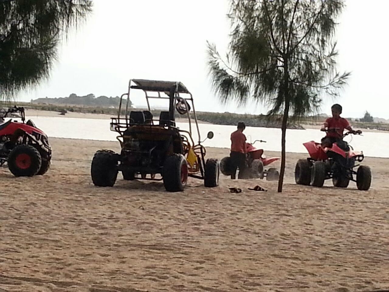
Recreational usage of the new reclaimed coast

This has been similarly done in Penang and Singapore to name a few other places experiencing the impact of coastal reclamation. The famous Queensbay township is located on the reclaimed land carried out  way back in late 1980s, and the relocation and closure of Pulau Jerejak Prison is partly 'due to reclamation'.


Another reclaimed site near Penang Bridge.

Wednesday, November 26, 2014

EKSPEDISI HUTAN SIMPAN KENDERONG

EKSPEDISI HUTAN SIMPAN KENDERONG, GRIK, PERAK

21-22 OCTOBER 2014

Satu kajian hidrologi sungai-sungai di dalam Hutan Simpan Kenderong di Ulu Perak telah dijalankan bersama dengan Dr Rahmad Zakaria dan Dr Asyraf Mansor dari Pusat Pengajian Sains Kajihayat, USM.

Ahli expedisi dari HGRG ialah Prof Dr Wan Ruslan, Nazrul Ibrahim dan Mohd Khusyairi. Dua malam bermalam di tepi sungai Pong dengan kicauan burung dan bunyi unggas di waklu malam yang gelap gelita cukup seronok untuk di nikmati, sesekali melepaskan letih di kampus, jauh dari sebarang gangguan bunyi bising dan hiruk pikuk bandaraya George Town.

Aktiviti perkhemahan dan bersiap sedia untuk sampling..stokin pacat diperlukan


Mengemas untuk berangkat pulang


Hydrological Study:
Water quality is pristine and very  good condition of Class 1. water coming out of old log underneath a road


Picture  of Sungai Pong and tributaries


KAJIAN LAPANGAN HIDROGEOMORFOLOGI DI SG ARA, PULAU PINANG
OCT 2014

Sg Ara Field Trip

Geomorfologi fluvial dan hidrologi  group fieldwork di jalankan di Sg Ara melibatkan hampir 60 orang pelajar tahun 2 dan 3 jurusan geografi fizikal, USM.
OUTSIDE WORLD IS OUR LABORATORY 


PUTING BELIUNG DI KEDAH-'FREAK WEATHER PHENOMENA'

Puting beliung atau  belalai air  yang berlaku di Kedah adalah antara beberapa kejadian tornado di Malaysia. Is this freak weather phenomena due to changing climate? Climate change has been said to cause changes in the severity of weather pattern and affects the frequency. Would it become more frequent in the future? Lets wait and see next year?
Peristiwa puting beliung di Malaysia  (http://ms.wikipedia.org/wiki/Puting_beliung)

Berikut adalah senarai peristiwa puting beliung yang utama terjadi di Malaysia pada mutakhir ini:
  • Puting beliung Kota Damansara (13 Jun 2010) - suatu ribut puting beliung yang amat dasyhat telah melanda Kota Damansara. Diantara kawasan perumahan yang terlibat ialah Seksyen 6,7,8,9 dan 10. Kawasan yang paling teruk menerima kesan ribut ialah perumahan PPR Seksyen 8 Kota Damansara. Di kawasan ini lebih 30 gerai penjaja daripada golongan berpendapatan rendah termusnah apabila angin kuat ribut puting beliung merosakkan semua kanopi gerai. Ada juga gerai-gerai yang terangkat terus dan di lemparkan beberapa meter jauh oleh ribut tersebut [5]. Selain itu dianggarkan juga sebanyak 120 pokok besar tumbang, kira-kira 30 buah motosikal di tempat letak kenderaan terbalik, gerai-gerai roboh dan hampir 29 buah kereta rosak dihempap pokok dan lori turut terbalik[6].
  • Puting beliung Perlis (28 Oktober 2010) - Berlaku di sekitar kawasan Jejawi. Lebih 50 rumah, kedai makan dan bengkel membaiki kenderaan di sekitar Jejawi rosak akibat angin puting beliung
  • Puting beliung Pulau Pinang (15 November 2010)- Berlaku di kawasan Gurney, Pulau PinangMalaysia. Berlaku kira-kira pukul 6.30 petang.
  • Puting beliung di Pendang, Kedah (14 Oktober 2014) - Berlaku di Kampung Alor Besar mengakibatkan 10 buah rumah dan sebuah sekolah rendah mengalami kerosakan.[10]
PERSIDANGAN AIR KEBANGSAAN

4-6 NOV 2014 ALOR SETAR, KEDAH

Membincangkan isu air di Malaysia termasukalah isu kekurangan air, banjir, sustainable catchment management, water management.


Tuesday, November 25, 2014

ISU HAKISAN CAMERON HIGHLANDS

ISU HAKISAN DAN GERAKAN JISIM CAMERON HIGHLANDS: PERKARA LAMA YANG BERULANG
oleh Profesor Dr. Wan Ruslan Ismail


Setelah sekian lama isu lama ini kini datang menghantui kita lagi dengan terjadinya aliran lumpur baru-baru ini pada  6 Nov 2014. Ini bukan kali pertama sebab beberapa insiden tanah runtuh sering dilaporkan di Cameron Highlands. Hakisan dan aliran lumpur adalah antara beberapa agen yang bertanggungjawab dalam mengubah pandang darat. Di Cameron Highland dengan terdedahnya permukaan bukit yang digondolkan untuk pertanian menyebabkan kawasan ini rentan kepada hakisan dan gerakan jisim (lambat atau cepat)


Kajian awal oleh Shallow (1956) lagi telah mendapati Sg Telom di Cameron Highland menghasilkan sedimen pada kadar 53 tan/km2 setahun atau sebanyak  4081 tan setahun. Ini data lama pada tahun 1956.

Tahun demi tahun bebanan sedimen di Cameron Highlands ini meningkat.

Excerpt from Ekhwan Toriman et al., 2010 entitle "Use of InfoWork RS in modeling the impact of urbanisation on sediment yield in Cameron Highlands, Malaysia" has shown a serious erosion due to urbanisation and other land clearing in Cameron Highands.

"For decades, Cameron Highlands rapid land development and human activities like agriculture,
urbanisation, infrastructure development, deforestation and etc. have contributed to severe upland soil
erosions. These activities have led to tremendous pressure to the existing river system and water courses. Forest coverage in Cameron Highlands has reduced quite tremendously in the last 5 years.
     From the current land use, almost 2,000 hectares of forest have been converted to agricultural lands within the catchments of Upper Telom and Upper Bertam. This is a reduction to 51% from the total land area in the two catchments compared to 62% in 1997.
     For years during heavy rainfall rivers in Cameron Highlands have to imbue the high rate of eroded sediments coming from these sources. Agricultural activities generate most of the eroded soils in Cameron Highlands. Activities like market gardening, floriculture, mixed agriculture, tea and orchard constitute more than 11,000 hectares of active land that produces silts to the water courses. Agricultural activities almost 36% of the total land use in Upper Telom and Upper Bertam catchments while constitute of more than 16% of the total land area in Cameron Highlands"

Tew (2003) also reported the lists of land use activities  which significantly generated the sediment
loading to the existing river systems in Cameron Highlands (Table 1).

Table 1: The lists of activities, which identified as the major sediment contributor to the
existing rivers in Cameron Highlands
____________________________________________
Activities                         Estimated Soil Loss (Tons/yr)
____________________________________________
Agriculture                         218,150
Mixed Residential                14,260
Road                                     10,642
Private Bungalows               10,117
Water Body/River                  8,887
Govt. Institution/Quarters      7,945
Apartment/Hotel                     5,070
Forest                                      2,573                
Commercial                            1,597
Golf/Recreational                   1,381
 Orang Asli Settlement              941
____________________________________________
Source: Tew (2003)


Sumber kajian ahli sains telah lama dijalankan hanya ianya tidak digunapakai dalam perancangan pemuliharaan, atau adakah pihak berwajib sukar untuk menyelesaikan tugas mereka kerana ada agenda lain? Wallahuaalam. Adakah suruhanjaya di raja dapat menyelesaikan masalah ini??
 http://www.themalaysianinsider.com/malaysia/article/utusan-wants-rci-on-cameron-highlands

Adakah perlu banyak lagi kerosakan harta benda dan kehilangan nyawa untuk menyelesaikan masalah lama ini??
http://www.themalaysianinsider.com/malaysia/article/5-dead-in-cameron-highlands-mudslide-bernama



Tuesday, September 23, 2014


Kajian Pelajar Tahun Akhir Geografi (FYPG 2014) di  BIOECODS, Kampus Kejuruteraan, Universiti Sains Malaysia 


Satu lawatan tapak untuk kajian kualiti air dan kandungan nutrien telah dijalankan pada 19 september 2014 di BIOECODS,  Kampus Kejuruteraan,  Universiti Sains Malaysia. Lawatan di  diketuai Prof. Dr Wan Ruslan Ismail dan beberapa pelajar tahun akhir Geografi terdiri 3 pelajar sarjana muda geografi iaitu Masitah Zaini, Nor Adillah Ayob dan Noor Musfirah Musa yang akan menjalankan kajian ini. Kajian ini akan dijalankan selama 6 bulan sehingga Februari 2015. Kajian ini akan memfokuskan kepada parameter fizikokimia dan beberapa nutrien iaitu nitrat, nitrit, fosfat, ammonia, jumlah nitrogen dan fosforus dan klorofil-a dan bagaimana sistem bioecods ini membantu memulihara kualiti air kumbahan kampus sebelum di luahakan  ke Sg Kerian.


Friday, May 2, 2014

SEDIMENT GRAB SAMPLING IN MERBOK ESTUARY, KEDAH


Date: 26th April 2014
Time: 10.30 am to 1.30 pm

On our previous sampling trip a sediment samples were collected from 6 sampling stations along the Merbok river catchment. Sediments were obtained by using sediment grabber (Figure 1) which is handled by two person on a boat. The sediment grabber capable to grabs approximately 1kg of wet sediments. The collected sediments then were stored in a labelled plastic bag container. Samples analysing will be conducted in the laboratory to examine its heavy metal substances.

Fig. 1 Sediment sampling using sediment grabber.
Fig. 2 Dropping and releasing the tool into the bottom of the river.


Fig. 3 The obtained sediments were taken out from the river.


Fig. 4 The sediment then be stored into the labelled plastic bag using spade for further analysis.


Tuesday, April 29, 2014

NITROGEN LOADING OF MERBOK RIVER, KEDAH

Wan Ruslan Ismail1,2,  Mohd Nazrul Ibrahim1, Mohd Kusyairi Mohd Zahir1, Zullyadini A. Rahaman1
1 HydroGeomorphology Research Group, Section of Geography, School of Humanities,
Universiti Sains Malaysia, 11800 Minden, Pulau Pinang, Malaysia
Tel: 604-6532853; Fax: 604-6563707; email: wruslan@usm.my
2 Centre for Global Sustainability Studies
Universiti Sains Malaysia, 11800 Minden, Pulau Pinang, Malaysia

Summary 
A study was conducted  from October 2011 to  February 2012  in the catchment of Gurun and Upper Merbok River with the purpose to determine nutrient loading in Merbok river catchment as aconsequences of development activities in that area. Result from our short study period in the Merbok river catchment revealed that the nutrients was in low concentrations at the upper segment but increased in concentration at the lower segment. The output of nitrite at segment 1 during sampling period was 48.8 tonnes with 96.9 %.  The output of nitrite at segment 2 was 289.4 tonnes (83.1%) and output at segment 3 which is represent the total output of  the whole catchment was 4325.6 tonnes. The amount of nitrite load removed from the catchment was 4036.2 tonnes (93.3%). For output of nitrate at segment 1 was 68.6 tonnes (88.9%) and the ouput at segment 2 was 570.7 tonnes (88%). The total output of nitrate was 7496.5 tonnes based on output of segment 3; Merbok. The output of ammonium nitrogen at segment 1 during sampling period was 23.9 tonnes with 99.7 %.  The output of ammonium nitrogen at segment 2 was 108.2 tonnes (77.9%) and output at segment 3 which is represent the total output of  the whole catchment was 2216.5 tonnes. The amount of ammonium nitrogen load removed from the catchment was 2108.3 tonnes (95.1%) (See Figure).

a) Nitrite loading


b) Nitrate loading


c) Ammoniacal Nitrogen loading

Figure 1. Nitrite, Nitrate and Ammonium nitrogen loading in the Merbok catchment. The black part is the downstream of Merbok river. Meanwhile, the blue is middle segment part  and the light blue part is the upper segment of Merbok River catchment.

Acknowledgement: Universiti Sains Malaysia for RU grant entitle "Land use and land cover changes in the Gurun and Upper Merbok River and the possible effect on euthrophication of Merbok Estuary, Kedah"  No: 1001/PHUMANITI/816229. 

Sunday, February 23, 2014

Penerbitan baru dari Ahli HGRG untuk 2014

KERJA LAPANGAN: TEKNIK, PROSEDUR DAN APLIKASI DALAM GEOGRAFI
oleh Wan Ruslan Ismail, Narimah Samat dan Nooriah Yusof

Buku ini membincangkan tentang kaedah dalam menjalankan beberapa kajian lapangan geografi fizikal, teknik dan geografi manusia.